Fantastic interactive graphic at the NYT reviewing how the shifting tectonic plates in the earth’s crust caused the earthquake and tsunami in Japan.
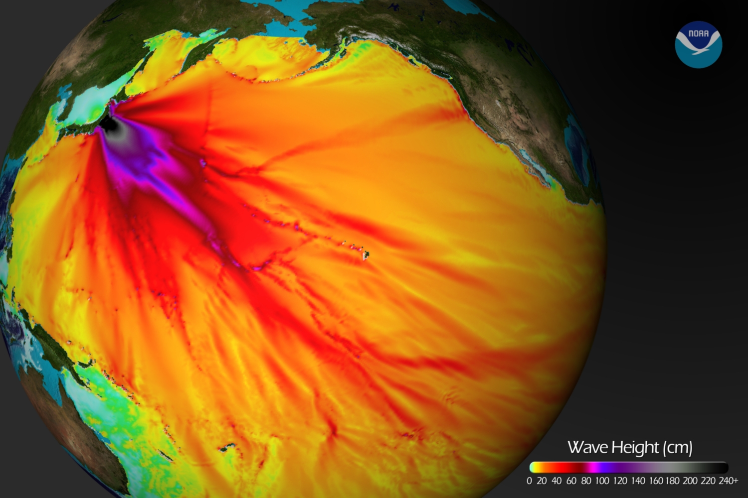
Here is the most intriguing of the graphics:
>

Source: NOAA Center for Tsunami Research, Pacific Marine Environmental Laboratory
>
UPDATE:
This is a slightly different angle showing the same thing, via NOAA
click for larger image

http://www.nnvl.noaa.gov/MediaDetail.php?MediaID=680&MediaTypeID=1


What's been said:
Discussions found on the web: